Plan it: How to Book a Yacht Charter in Croatia – Step-by-Step Guide
Croatian Nautical Charts – Explore Your Sailing Route
Planning a yacht charter in Croatia? Use the free online sea chart OpenSeaMap to explore marinas, anchorages, and sailing routes along the stunning Croatian coast.
Paper charts and publications are available for purchase from authorised distributors.
🌍 Online Marine Maps of Croatia
📌 Note: OpenSeaMap is for trip planning purposes only. It is not suitable for navigation. All charter yachts include official nautical charts as required by Croatian maritime law.
📍 Plan Your Route by Region
Use OpenSeaMap to explore Croatia’s top sailing areas and build your dream itinerary:
⚓ Split Yacht Charter Area
- Islands: Hvar, Brač, Vis, Šolta
- Departure: Split Yacht Charter
⚓ Zadar and Kornati
- Explore Ugljan, Dugi Otok, and Kornati National Park
- More info: Zadar Yacht Charter
⚓ Dubrovnik and the South
- Elaphiti Islands, Mljet, and Lastovo
- Route ideas: Dubrovnik Yacht Charter
⚓ Istria & Kvarner
- Quiet charm of Cres, Lošinj, and Pula
- Depart from: Istra Yacht Charter or Kvarner Yacht Charter
📘 Helpful Charter Resources
- Skippered Yacht Charter Croatia
- Catamaran Charter Croatia
- Get a Quote for your ideal yacht
📩 Still Have Questions?
Whether you’re sailing for the first time or planning a return adventure, ask for a quote and an email of route ideas follows the boats – and a person in our Split and Trogir team answers when you reply.
🛥️ Get a Quote
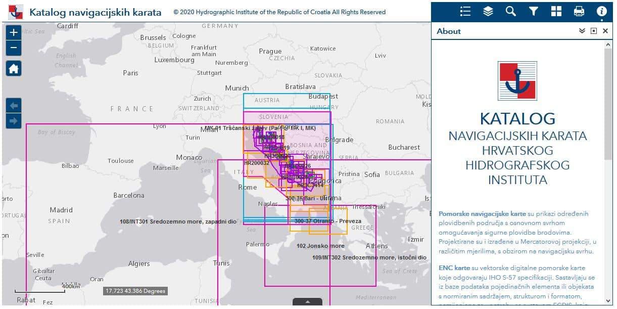
GIS catalogue of official Croatian navigation charts
Hydrographic Institute of the Republic of Croatia has published a GIS catalogue of official Croatian navigation charts and electronic navigation charts (ENCs) on its GeoAdriatic portal, and the International Hydrographic Organization (IHO) keeps a Member States Online Chart Catalogue.